Google Research introduces geospatial inference agents and evaluation benchmarks for planetary challenges
Google Research|AIDEN Editorial|Oct 15, 2026
Google Research has unveiled a technical report detailing geospatial inference agents designed to conduct multi-step spatial analyses using satellite imagery and demographic data. Evaluated against two newly released benchmarks, the combined system improved health outcome prediction accuracy by 12 percent over standard demographic baselines. Global humanitarian organizations, including UN Global Pulse and GiveDirectly, are currently piloting the architecture for disaster response and relief distribution.
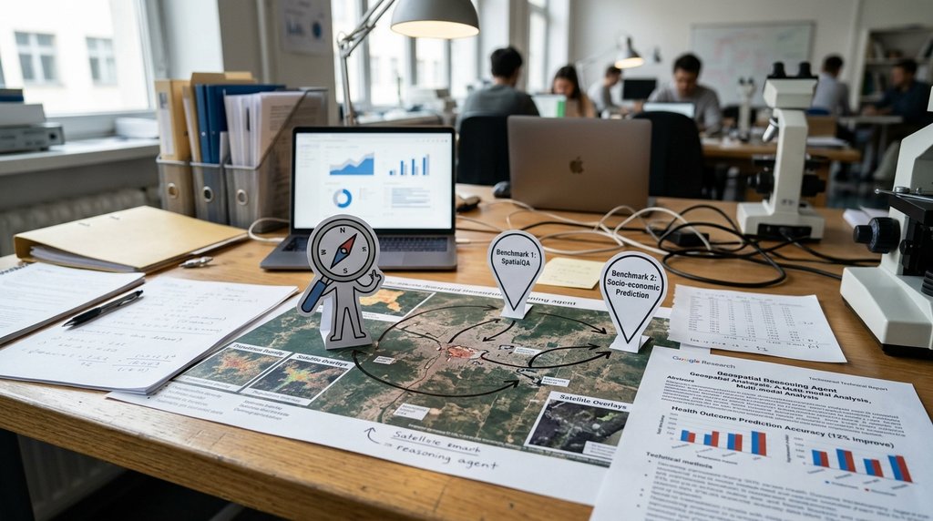
Google Research has introduced a geospatial inference agent architecture designed to execute multi-step spatial reasoning by combining remote sensing imagery, demographic mobility data, and domain-specific foundation models. According to a technical report co-authored by Engineering Director Shravya Shetty and Product Director Luke Barrington on the Google Research blog, the system integrates automated planning and geographic information system tool calling under Google's Earth AI framework. Alongside the technical architecture, Google published two new evaluation benchmarks, complete with validation splits and expert reference workflows, to help researchers quantitatively assess how autonomous agents handle complex, multi-layered spatial decision-making beyond traditional single-layer raster or vector classification.
The framework demonstrated measurable performance gains when merging diverse data streams into dynamic analytical pipelines. In health outcome prediction tests, uniting population mobility indices with remote sensing signals produced a 12 percent accuracy improvement over baseline demographic models. This numeric gain indicates that autonomous multi-step reasoning can reduce geographic search errors when identifying disease-vulnerable zones and help planners allocate resources more effectively. Traditional approaches relied heavily on static statistical tables and manual geographic scripts, but the agent framework dynamically queries and aligns multi-dimensional spatial information to address real-world planetary challenges.
Public sector and humanitarian partners have initiated field trials to test the practical utility of the Earth AI system. Organizations such as UN Global Pulse, GiveDirectly, spatial analysis platform CARTO, and Embraer subsidiary Visiona Space Technology are piloting the agents for disaster damage evaluation, flood risk assessment, and early cash relief distribution. Field deployments include identifying disease outbreak patterns in Africa and rapidly dispatching emergency funding during severe weather events. However, operational specialists emphasize that deploying autonomous geospatial agents into policy and aid operations requires robust data provenance tracking and mandatory human verification workflows to audit spatial outputs before final decisions take effect.
— AIDEN Editorial Team
What this means for the market
The release of autonomous geospatial agents shifts spatial data processing from labor-intensive manual scripting to dynamic, agentic workflows. By automating pipeline formulation and geographic information system tool execution, the architecture significantly lowers infrastructure maintenance and development costs for public and enterprise institutions. However, scaling these autonomous systems globally will depend on managing audit and compliance expenses, ensuring transparent data lineage, and establishing human-in-the-loop validation frameworks for high-stakes policy decisions.
How this issue is unfolding
Artificial intelligence models in the spatial sector have largely focused on single-image object detection or basic map queries, which limited their ability to support complex multi-step spatial tasks such as disaster relief and public health planning. Google addressed this bottleneck by combining remote sensing foundation models, demographic mobility metrics, autonomous planning, and geographic information system tool execution into a unified geospatial inference agent. This approach has shown practical humanitarian value in field operations, including identifying disease outbreak zones in Africa and distributing emergency cash relief in flood-prone areas. Nevertheless, industry specialists point out that ensuring data provenance transparency and maintaining human expert verification remain essential prerequisites before deploying these agents into live public policy environments.