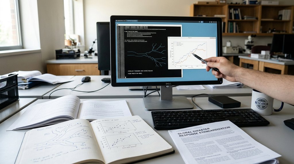
Google Research has announced the open-sourcing of its advanced hydrology framework, a significant step aimed at enhancing global flood prediction capabilities. This initiative underscores the company's commitment to leveraging artificial intelligence and machine learning to address critical environmental challenges, particularly the increasing threat of floods worldwide. By making this framework publicly available, Google seeks to foster a collaborative research environment, enabling scientists and developers globally to contribute to and benefit from cutting-edge tools for climate resilience. This move is expected to accelerate the development of more accurate and timely flood forecasting systems, which are crucial for disaster preparedness and mitigation efforts across vulnerable regions.
The decision to open-source such a sophisticated framework is particularly relevant given the escalating impacts of climate change, which have led to a noticeable increase in the frequency and intensity of extreme weather events, including devastating floods. Historically, developing robust hydrological models has been a resource-intensive endeavor, often requiring specialized expertise, high-cost sensors, and substantial computing power. These requirements have created significant technical and financial barriers, limiting the adoption and advancement of effective flood prediction systems in many parts of the world. Google's approach, integrating machine learning, aims to make these models more data-efficient and accessible. This aligns with a broader industry trend where major technology companies are increasingly contributing AI-driven solutions to public good challenges, recognizing the collective benefit of shared innovation in addressing global crises.
The open-sourcing of this hydrology framework carries substantial implications for a diverse range of stakeholders. For the global community of developers and researchers, it provides an invaluable foundation upon which to build, customize, and refine flood forecasting models, potentially leading to localized solutions tailored to specific geographical and climatic conditions. Enterprises involved in sectors such as disaster management, urban planning, agriculture, and insurance can leverage improved predictive accuracy to enhance risk assessment, optimize resource allocation, and develop more resilient infrastructure. Furthermore, policymakers and governmental agencies, especially in regions prone to flooding, gain access to advanced technological tools that can significantly bolster early warning systems, inform emergency response strategies, and guide long-term climate adaptation policies. This collaborative, open-source model has the potential to drive standardization in disaster response technologies, fostering greater interoperability and international cooperation in the face of a changing climate.